Bruno Hassenstein's Works on Japan
A History of Knowledge Between Japanese Studies and Cartography (1879–1887)
In the 19th century, European interest in Japan increased significantly in scientific, economic, and artistic terms. On an economic level, the Unequal Treaties of 1858 and 1861 between Japan and several European nations marked a turning point in relations between these societies. In the preceding period of limited exchange (1639–1858), Japan had been only marginally accessible from a European perspective. In the decades following the signing of the treaties, research travelers, diplomats, and geologists journeyed to Japan to study its society, language, and economy. These developments triggered profound political, social, and cultural transformations within Japan that left a lasting impact on the country.
Against this backdrop, and driven by both professional and personal interest in Japan, the cartographer Bruno Hassenstein began mapping Japan in the Thuringian residence city of Gotha. Between 1879 and 1887, he primarily produced individual map sheets depicting the modern Tokyo region and Mount Fuji. He also created a topographical atlas of Japan, for which he developed his own system of transliteration. These works were produced as part of his position at one of the leading European map publishers of the 19th century: Justus Perthes in Gotha. Hassenstein relied on an extensive network of European research travelers, Japan scholars, diplomats, geographers, foreign contract workers in Japan, as well as Japanese exchange students and envoys. This network supplied him with European and Japanese cartographic materials, assisted him in translating Japanese nomenclature, and collaborated with him on refining the atlas’s transliteration system.
To date, historical scholarship has not critically examined Bruno Hassenstein’s Japan work. This is all the more surprising given that his extensive working estate has been largely preserved in the Perthes Collection. In addition to the published maps and atlas, it is above all the letters, working notes, travel reports, map sketches, and Japanese maps that offer deep insights into the working methods of the Gotha-based cartographer. Using this multi-layered body of source material, the dissertation project investigates how Hassenstein’s Japan came into being. At the center of the research are not only the maps and their production but also the actors from Europe and Japan who were involved in the process. Key questions naturally arise: How did Japanese maps circulate between Europe and Japan? And how was it negotiated within the transnational network what constituted valid geographical knowledge about Japan?
Methodologically, the project is situated at the intersection of global history, the history of knowledge, and critical cartography. These perspectives make it possible to analyze both the collaborations between actors and the political and economic conditions shaping the production of cartographic knowledge. The goal of the project is to uncover how European Japan scholars and cartographers collaborated on Hassenstein’s Japan work and how colonial, scientific, and economic knowledge became embedded in the resulting cartography.
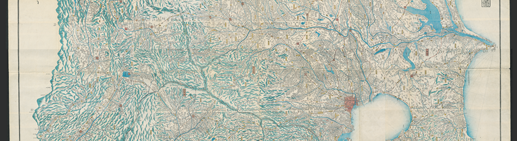
Picture: 秋山永年墨仙[作図] / 船橋渡 ; 船越守愚[撰], Fujimi Juusanshuu Yochi No Zenzu, Japan: Shūseidō 1843, 155 × 175cm, Forschungsbibliothek Gotha, Sammlung Perthes, SPK 30.15.b.06 C (01), Bl. 8.
PhD-Project
Patrick Müller, M.A.
Citation link