Perthes Collection
The Perthes Collection, acquired by the Free State of Thuringia with the support of the German Federal Cultural Foundation in 2003, forms the core of the modern holdings of the Gotha Research Library. It comprises the holdings of the Justus Perthes Geographic Publishing Houses in Gotha and Darmstadt as well as those of the Hermann Haack Geographic Cartographic Publishing House in Gotha, a publicly owned company. The Justus Perthes Publishing House was founded in 1785 in the connection with the Gotha court. Perthes took over the publishing of the Gotha Court Kalendar/Almanach de Gotha, which became the most important lexicon of the European aristocracy in the 19th century.
The scientifically interested Duke Ernst II of Saxe-Gotha-Altenburg collected atlases and geographic literature and invited Franz Xaver von Zach, one of the most famous astronomers of his time, to Gotha. Zach built Germany’s first freestanding astronomical observatory on the Seeberg hill in Gotha and trained the Gotha court lawyer Adolf Stieler in cartography. In 1810, Stieler presented Justus Perthes with the idea of an atlas, which made the Perthes Publishing House one of the leading cartographic and geographic publishing houses of the 19th and 20th centuries. Beginning in 1855, the publishing house became internationally renowned through its journal Petermanns Geographische Mitteilungen.
The Perthes Collection documents the last phase of the Age of Discovery, in which the interior of the non-European continents and the polar regions were explored. At the same time, it provides unique insights into the map production of the 19th and 20th centuries.
From the collection

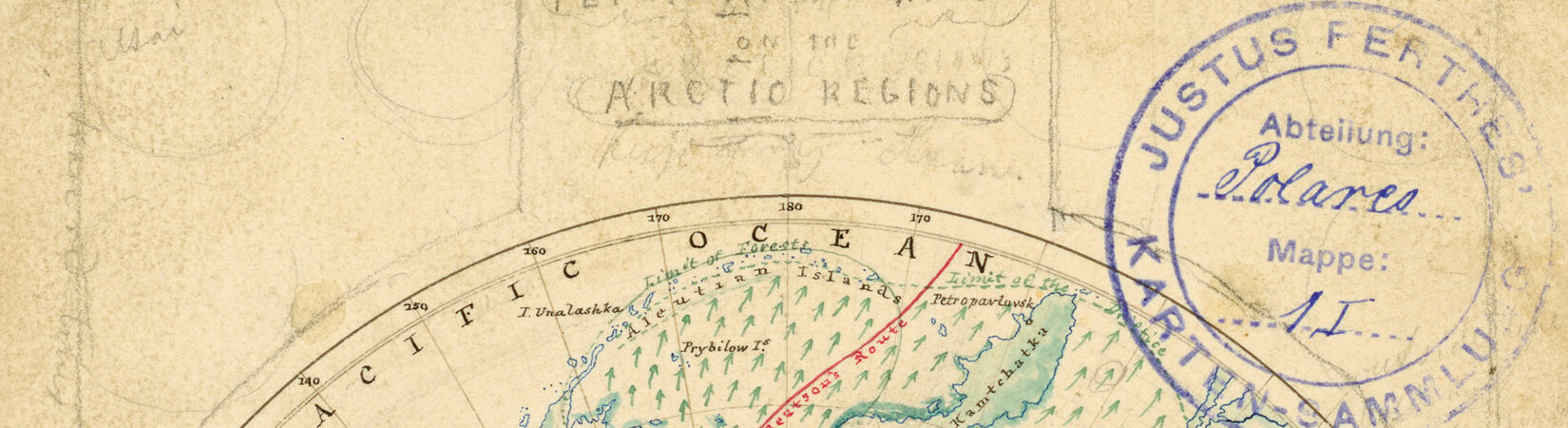
A milestone in the history of modern cartography - Adolf Stieler’s Handatlas
Stieler’s Handatlas conveys the geographical knowledge of the discovery of the non-European continents, the polar regions and the oceans in the 19th and 20th centuries.

Almanach de Gotha – Court Calendar of Gotha
Arising as part of an enterprise of the Enlightenment in the 19th century, the best-known lexicon of the European aristocracy still enjoys a worldwide reputation.

Petermanns Geographische Mitteilungen – One of the world’s most widely read journals in its field
From 1855 to 2004, the journal Petermanns Geographische Mitteilungen documented and visualised the geographic knowledge of the time in texts, maps, and reviews, and became the most influential cartographic and geographic journal in the German language.

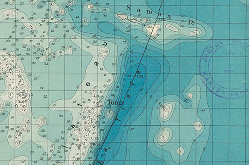
Gotha lies on the sea – The historical sea maps of the Perthes Collection
Sea maps record the permanent change of the coastline due to weather and tides and are collected and evaluated by the Perthes Publishing House.

The northernmost travelled book – the Eskimaux-English dictionary
The 120,000-volume library is one of the world’s most important specialist cartographic and historical libraries, and its treasures never cease to amaze. The dictionary originally came from the bord library of the Second German North Pole Expedition, which mapped unknown coastal regions of eastern Greenland in 1869/70.

Unique documents shedding light on publishing and book history in the German-speaking areas.
The over 200-year history of the Perthes Publishing House is reflected in the correspondences of the publishers, the files of the management and the publishing departments, architectural documents, anniversary publications, photo albums, and even the family keepsakes of the publishers. At the end of the 19th century, the architect Bruno Elbo expanded the buildings of the publishing house and fundamentally redesigned them. His ink drawing is the cover image of a photographic commemorative volume that the employees dedicated to their publisher Bernhard II Perthes dedicated in 1885 on the occasion of the 100th anniversary of the founding of the Perthes Publishing House.
Projects
- Gotha Research Library
- Transcultural Studies / Gotha Perthes Collection
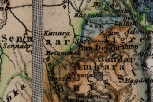
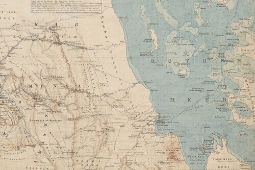
Cartographic Sources and Territorial Transformations in the Horn of Africa since the Late 18th Century (ETHIOMAP)
- Gotha Research Library
- Transcultural Studies / Gotha Perthes Collection
Sea Maps: For a History of Globalization from the Perspective of Water.
- Gotha Research Library
- Transcultural Studies / Gotha Perthes Collection
Cartographies of Africa and Asia (1800-1945)
Explore digital services
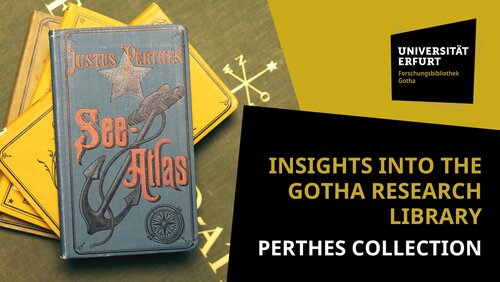
Insights into the Perthes Collection
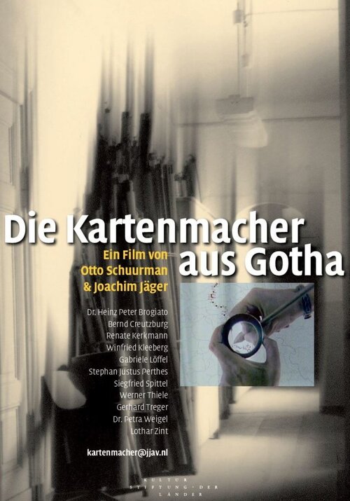
The movie titled “Kartenmacher aus Gotha” (Mapmakers from Gotha)
The documentary film “Die Kartenmacher aus Gotha” was produced by Joachim Jäger and Otto Schuurman (D/NL 2016), along with audiovisual and text-based materials that accompany it (1989-2015).
Blog posts
- Erki Tammiksaar: August Petermann und seine Netzwerke: Beobachtungen und Funde zu den Polarkarten Petermanns in der Sammlung Perthes, 25.092022.
- Petra Weigel: Emil von Sydow – Kartograph zwischen Praxis und Theorie, 14.07.2022.
Find more contributions here.
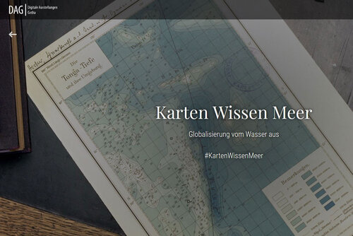
Explore the digital exhibition “Maps – Knowledge – Sea”
Using objects from the Perthes Gotha Collection and the Map Collection of the German Maritime Museum, the exhibition shows how sea and ocean maps have become media of globalisation since the turn of the 19th century.
Further reading
- Petra Weigel (in Verbindung mit Haim Goren/Bruno Schelhaas/Jutta Faehndrich (Ed.): Das Heilige Land in Gotha. Der Verlag Justus Perthes und die Palästinakartographie im 19. Jahrhundert, Gotha 2014.
- Petra Weigel: Die Sammlung Perthes Gotha (= Patrimonia, 254), Berlin 2011.
- Imre Josef Demhardt: Der Erde ein Gesicht geben: Petermanns Geographische Mitteilungen und die Anfänge der modernen Geographie in Deutschland. Katalog zur Ausstellung der Universitäts- und Forschungsbibliothek Erfurt/Gotha im Spiegelsaal auf Schloß Friedenstein in Gotha 23. Juni bis 9. Oktober 2005, Gotha 2006.
Contact Information
University of Erfurt | Gotha Research Library
Friedenstein Palace
Schlossplatz 1
D-99867 Gotha
bibliothek.gotha(at)uni-erfurt.de